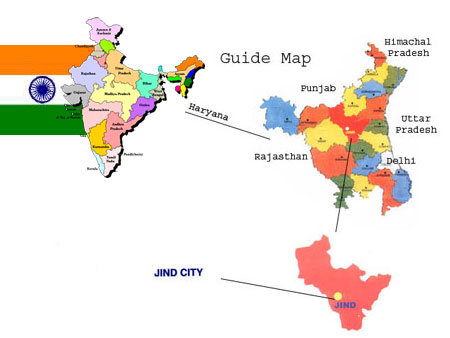
Jind City is
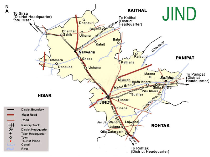
situated about 125 km. from Delhi, the capital of India. The area of the Jind district is
3,606 square kilometers. The city is on the Delhi-Ferozpur rail route. It is situated in
the middle of Haryana The district lies in the North of Haryana between 29.03’ and
29.51’ North latitude & 75.53’ and 76.47’ East longitude. On its East
and North-East lie the districts of Panipat, Karnal and Kaithal respectively. Its boundary
line on the North forms the inter-state Haryana- Punjab border with Patiala and Sangurar
districts of Punjab. In the West and South-West it has a common boundary with district
Hisar & Fatehabad and in its South and South-East lies the district of Rohtak and
Sonipat respectively.
The nearest airport is at New Delhi. Jind Junction Railway
Station is a prominent railhead of Haryana. National Highway 71 passes through Jind.